

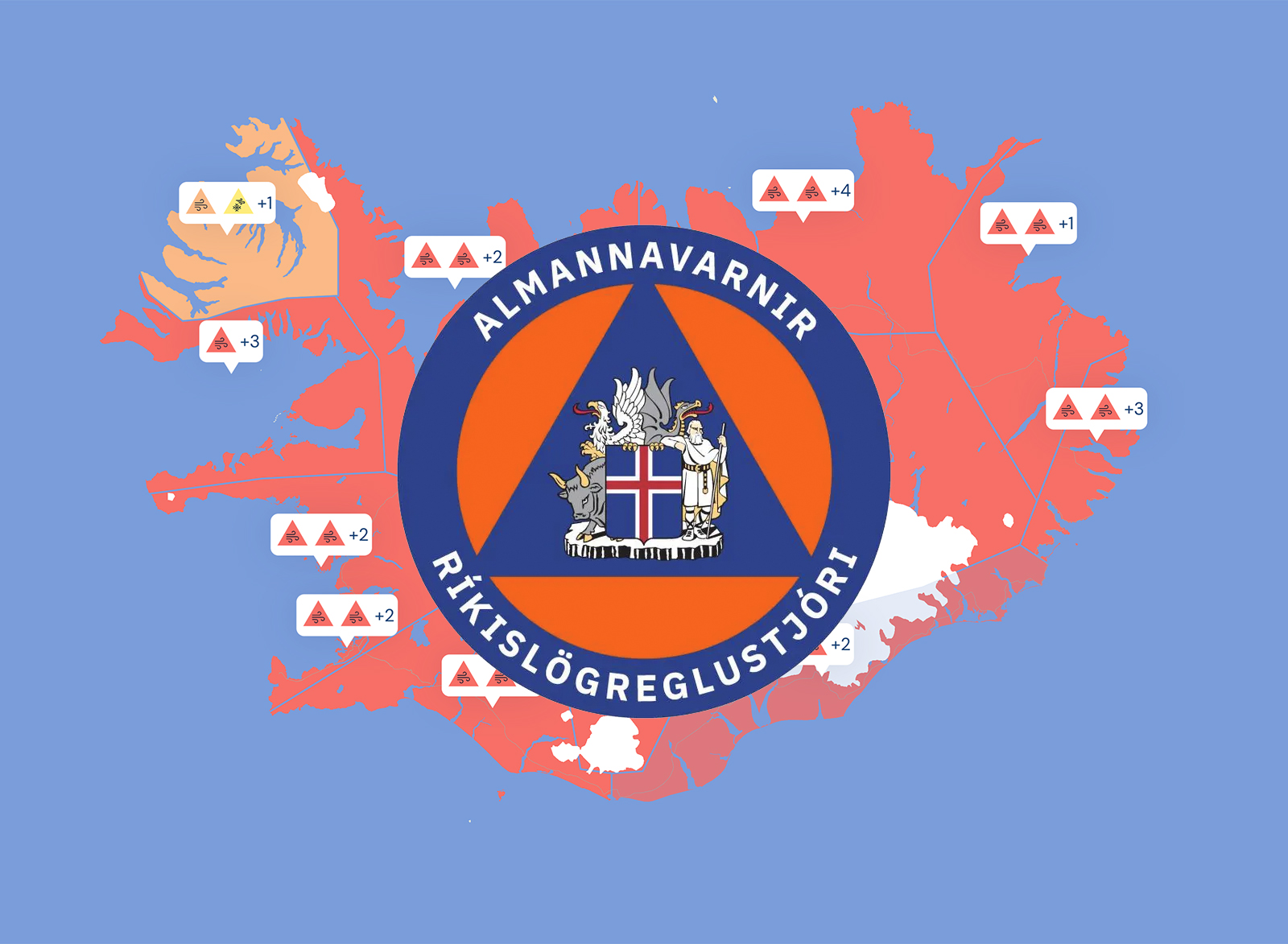
Hættustig Almannavarna vegna veðurspár
Ríkislögreglustjóri, í samráði við lögreglustjórana á Höfuðborgarsvæðinu, Vesturlandi, Norðurlandi vestra og Norðurlandi eystra, Austurlandi, Vestmannaeyjum, Suðurlandi og Suðurnesjum lýsir yfir hættustigi Almannavarna vegna veðurs sem spáð er næsta sólarhringinn. Hættustig Almannavarna gildir frá og með 15:00 í dag og gildir þar til veðrið gengur niður á morgun, fimmtudaginn 6. febrúar.
Veðrið gengur yfir landið á mismunandi tíma með mismiklum áhrifum og er fólk hvatt til að fylgjast með á vef Veðurstofunnar http://www.vedur.is. Auk þess er hægt að fylgjast með færð á vegum á vef Vegagerðarinnar http://www.umferdin.is.
Veðrinu sem er spáð getur valdið miklum samfélagslegum áhrifum og getur valdið tjóni. Einnig getur það haft mikil áhrif á þjónustu, innviði og samgöngur á landi og lofti.
English
The National Commissioner of the Icelandic Police, in cooperation with the chiefs of Police in the districts of Reykjavik Metropolitan Police, Reykjanes Peninsula, Westman Islands, South Coast, East, Northeast, Northwest, Westfjords and the West, has raised the alert Phase due to a weather forecast that includes strong winds. The Civil Protection uncertainty level is in effect from noon today and will remain in effect until the weather clears tomorrow, Thursday, February 6.
The weather will affect all parts of Iceland today and tomorrow. People are advised to follow updates on the weather forecast at the Icelandic Met Office's webpage, http://www.en.vedur.is.
Road conditions are updated here https://www.vegagerdin.is/en.
The weather will affect the whole country at different times with varying degrees of impact. People are encouraged to monitor the weather on the Icelandic Meteorological Office's website http://www.vedur.is.
In addition, it is possible to monitor road traffic on the Icelandic Road Administration's website http://www.umferdin.is.


